Lac Montriond
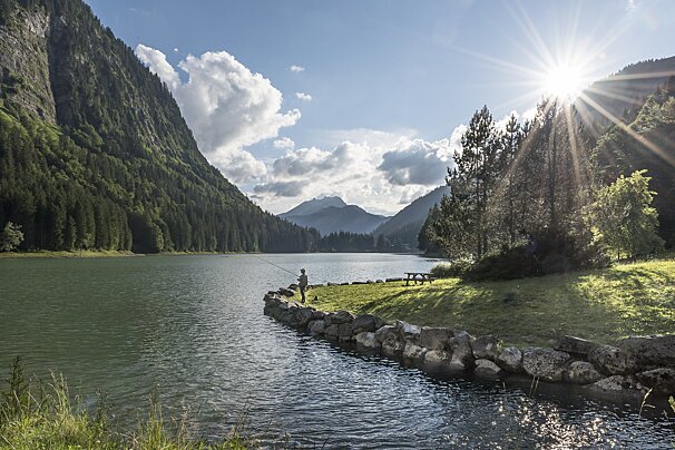
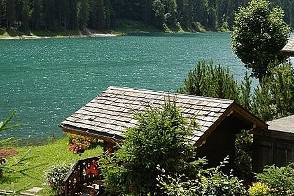
Lac de Montriond is a peaceful natural retreat surrounded by cliffs and forest. Enjoy swimming, paddle boarding, walking trails, and more in this scenic lakeside spot.

© SeeMorzine.com

© SeeMorzine.com
A beautiful hiking route with excellent views and wild flowers along the way
You may spot some of the local wildlife along the way but you are sure to take in and enjoy the panoramic views of the mountains. This hike is only recommended in very good weather, and with an altitude change of 700m you must be fully equipped and prepared.
This route can be found on IGN map 3528, Morzine - Massif du Chablais.

Lac de Montriond is a peaceful natural retreat surrounded by cliffs and forest. Enjoy swimming, paddle boarding, walking trails, and more in this scenic lakeside spot.

Explore the mechanical music museum where you will learn about the history and development of mechanical musical instruments through the ages.

A great walk through a beech forest and dramatic limestone gorges carved by the Dranse de Morzine. Expect vibrant rock colours, safe cliffside paths and even a daring glass walkway you can try.

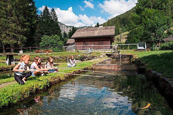
Visit the local fish farm to discover how arctic char and trout are raised in alpine waters. Join a tour, try your hand at fishing or pick up fresh fish to take home.

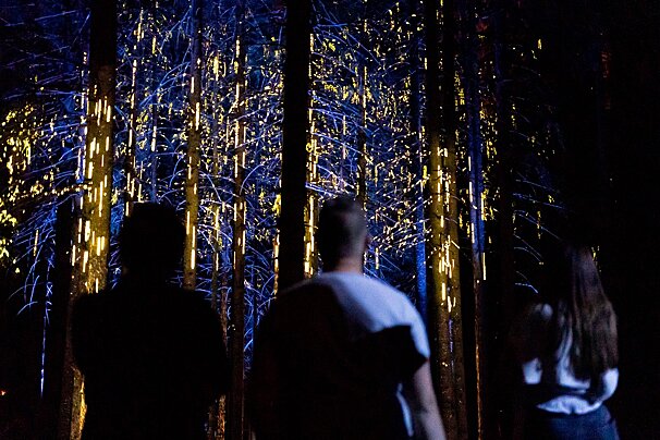
In the heart of the French Alps, in the village of Les Gets, experience a night walk in an enchanted forest like no other. Set off along the path of a travelling music-maker and his hot-air balloon, and follow his incredible journey beyond the mountains.

Discover and explore the slate mines of Morzine.

At Kern, chef Jean-Philippe Lemaire crafts precise, flavour-led dishes using local produce, earning the restaurant its first Michelin star.
From the car park take the track signposted Col de la Balme until you reach L'Avanchereau. Continue along to the right and take the little wood pontoon which covers the bogs. Once you reach Col de Balme take the forest track towards La Pointe de la Gray and follow the ridge leading to the summit. Here you will see the amazing views of Mont Balnc and Roc d'Enfer.
Go along the ridge to Col des Chauvannes and continue downwards towards the fields. From here you can take the forest path towards Les Culees, and once you reach the 'Altitude 1,450m' signpost, turn right and head through the forest to get back to the car park.
Find out all about what is happening in the Morzine area and how to make the most of your time here. The latest news, reviews of fun activities, current events and the trendiest restaurants, as well as interviews with leading locals, insider's guides and our top choices for things to do, see and experience in the region. Plus, during the winter season, our famous snow reports and dump alerts all in the same place.
See allLatest News & ReviewsMorzine hosts a wide range of events throughout the year. The biggest winter festival is the Rock des Pistes week in March, where live bands play up on the pistes, with many other concerts being held in resort during the evenings. Highlights in summer include Crankworx and the Pass'portes du Soleil (two large mountain biking events), and the Spartan obstacle course race.
See allUpcoming Events